Applications of the groundwater aeration sound measuring device
Groundwater aeration sound exploration can be exploited in solving various problems that arise without understanding the places where groundwater flows in an actual site.
Next, we present examples of application of groundwater aeration sound exploration, but since the device can also be used in applications other than the examples presented here, if you have any questions or ambiguities, please do not hesitate to contact us.
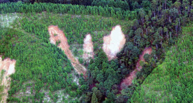
Disaster prevention measures for slopes
- Forecasting of areas on a slope involving hazards of collapse
- Improvements in the accuracy of hazard maps
- Selection of areas where a pore water pressure meter or a soil moisture meter, etc. is to be installed
- Selection of areas where a groundwater level meter is to be installed
- Design and construction of slope improvement works (drainage works, retaining wall works, preventive works, anchor works, etc.)
- Design and construction of landslide prevention works (water collecting well, horizontal boring, etc.)
- Selection of areas provided with drainage measures when performing emergency works for recovery from disasters
Disaster prevention works for roads
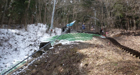
- Forecasting of areas on a road slope involving hazards of collapse and selection of areas to be inspected
- Forecasting of areas on a forest road slope involving hazards of collapse and selection of areas to be inspected
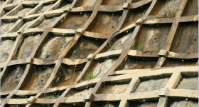
- Design and construction of drainage positions in a retaining wall
- Design of tracks such as forest roads
Disaster prevention measures for dams and embankments
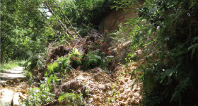
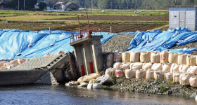
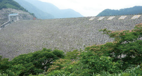
- Investigation of areas of water leakage in rock fill dams, earth dams, etc.
- Investigation of areas of water leakage in water storage ponds
- Investigation of areas of water leakage in embankment
- Investigation of groundwater and percolating water in embankments
- Prior investigation before building an embankment
Soil ground
investigation
- Prior investigation before boring investigation
- Soil ground investigation for performing foundation works for an apartment house or residential land
- Prior investigation such as improvement of soil ground for the development of residential land
Others
- Earth filling in areas along a railroad
- Forecasting of hazard of slope collapse in an earth cutting section
- Exploration of digging positions for groundwater or a well
Actual examples for measurement
Preparation of a slope collapse hazard map
Based on the result of measurement, a slope collapse hazard map can be prepared.
In general, it is said that a ridge type slope is unlikely to collapse, but actually collapse has occurred in some of such slopes. Areas shown in red in Fig. 1(a) are those having loud groundwater aeration sound where the groundwater level is likely to rise during a heavy rainfall. The occurrence of landslide scars and traces of old collapse is seen in areas right under the areas shown in red having loud groundwater aeration sound.
Evaluation of the degree of hazard of a slope based on the slope gradient and the loudness of groundwater aeration sound has shown that the slope can be divided into safe places and dangerous places as shown in Fig. 1(b), and they roughly coincided with the new and old positions of collapse.

![]()
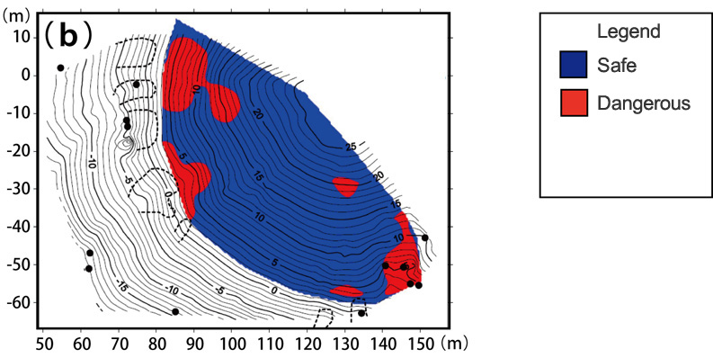
Source: Fiscal Year 2005 Research and Presentation Lecture Meeting of the Disaster Prevention Research Institute, Kyoto University
"Preparation of slope collapse hazard maps based on the distribution of groundwater aeration sound"

